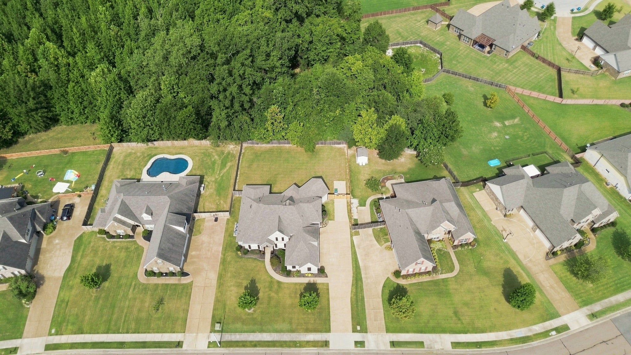
Residential Properties & Land
Give buyers a broader view of a home’s outdoor spaces or a land listing’s visible terrain and features. Aerial photography can show acreage, tree cover, ponds, and the relationship between structures.
Commercial Properties & Facilities
Present building placement, parking areas, entrances, and the arrangement of a commercial site. These views help prospective tenants, buyers, customers, and project teams understand how the location is organized and how its different areas relate to one another.
Aerial Photography Questions
What information should I provide when booking?
Provide the property address, the features you want photographed, your intended use for the images, and your preferred timing. Include access instructions and any areas that need particular attention so we can discuss suitable views.
What affects aerial photography scheduling?
The location, weather, and flight conditions affect which photographs can be taken and when. Share your deadline when requesting a quote so we can discuss the schedule and any location-specific considerations.
Do aerial photographs establish property boundaries?
No. Aerial photographs show visible features and the property’s setting. They do not replace a survey or establish legal lot lines.
When is drone photography especially useful?
Drone photography is especially useful when a property’s appeal extends beyond the building itself. Larger lots, waterfront settings, pools, outbuildings, wooded areas, and multiple structures can be difficult to show together from the ground. Elevated views help buyers understand how these features connect and what makes the property’s setting distinctive.
How does aerial photography help market commercial properties?
Commercial buyers and tenants need to understand how a site functions as well as how the building looks. Aerial photographs can show parking arrangements, vehicle entrances, loading areas, neighboring development, and the relationship between buildings. This context helps viewers assess whether the property’s layout and access may suit their business needs.
How should I prepare the property for aerial photography?
Tidy the outdoor areas you want shown, put away loose items and bins, and move vehicles that block important features when practical. Arrange access to gates or secured areas and let us know about outdoor activity or work scheduled at the property. Keep people and pets clear of the launch and landing area during the session.