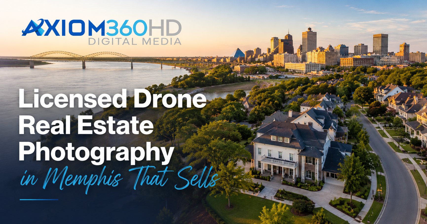
Licensed drone photography that sells the story: safe, compliant aerials for Memphis listings
Memphis listings and commercial sites work harder when aerials do more than look pretty. The right drone angles show roof condition, parking and access, nearby anchors, and how a property sits within its neighborhood. That extra context can help buyers, tenants, and investors qualify faster during busy summer months.
But not all drone work is the same. Licensed, insured flights protect your marketing plan and your reputation while keeping listings MLS-ready and stress-free. Below is a practical guide to FAA-compliant aerials in the Memphis area, how they pair with HDR exteriors, floor plans, and Matterport for a complete story, and what brokers and sellers should know before booking.
What FAA Part 107 compliance really covers
If you hire a drone vendor for real estate or commercial media, you are hiring a commercial operator. In the United States, that work must comply with Federal Aviation Administration Part 107 rules.
Part 107 requires a Remote Pilot Certificate, registration for the aircraft, preflight checks, adherence to altitude and visibility limits, and respect for airspace and temporary flight restrictions. In Memphis, that often includes coordination around Class B airspace surrounding Memphis International and awareness of medical facilities, stadium events, and rail or river operations that can trigger advisories. A licensed pilot will handle airspace authorization through LAANC or manual requests when needed and will decline unsafe or noncompliant requests.
Bottom line: Part 107 compliance is not a nice-to-have. It is the legal framework that keeps your shoot lawful, insurable, and defensible.
Why compliant aerials protect brokers and sellers
When aerials are flown without a license or in restricted airspace, the liability does not stop with the pilot. Brokers and sellers who benefit from the work can be pulled into a complaint or investigation. Using an FAA-certified, insured provider helps you:
- Reduce legal and insurance exposure
- Keep MLS launches on schedule without last-minute reshoots
- Avoid takedowns of noncompliant footage on public platforms
Reputable providers document airspace checks, carry general liability and UAS coverage, and maintain flight logs. Ask for credentials up front and keep them with your listing file.
Memphis airspace, in plain language
Memphis is a great market for drone storytelling, but it demands care:
- Proximity to Memphis International means much of the metro is influenced by Class B shelves. Expect altitude caps and, at times, required authorizations.
- Hospitals and heliports create frequent low-altitude activity. A good pilot plans around this and stays well clear.
- Summer heat, gusty river winds, and pop-up storms affect battery life and flight stability. Professional pilots plan shorter sorties, bring spares, and watch radar.
If your listing is in Germantown, Collierville, Bartlett, or Arlington, airspace can still be complex. A seasoned pilot will advise what is safe, what is allowed, and what angle substitutes will deliver the same story if a high altitude is not permitted.
What to capture so the story sells
Aerials should answer questions buyers and tenants ask first. Prioritize:
- Rooflines and condition, including complex pitches or recent updates
- Parking layouts, ingress and egress, and truck or service access for commercial sites
- Proximity to anchors, parks, schools, retail, and commute corridors
- Lot lines and relationships to neighbors, greenspace, and water features
- Visibility from major roads and signage opportunities
For multifamily and hospitality, include pools, courtyards, dog parks, and guest routes. For retail, medical, and industrial, emphasize access, turning radii, loading, and nearby anchors that drive traffic.
Pair aerials with context, not clutter
Great aerials stand taller when you add a few context assets. Keep the mix tight and purposeful:
- HDR exterior photography for true color and curb appeal that matches the aerial perspective
- Floor plans to translate what viewers see from above into clear dimensions
- Matterport 3D tours for room-by-room understanding and remote decision-making
This supporting trio helps relocation buyers and out-of-town investors move from discovery to shortlists quickly. If you want an example of how these pieces work together for apartments, commercial suites, and listings, explore our Memphis 3D real estate tours to see measured walkthroughs that complement aerial context.
Internal links you may find useful as you plan:
- Learn how we approach Memphis commercial real estate photography that highlights access and context
- See how measured, immersive tours support remote decisions with Memphis 3D real estate tours
- Browse our real estate photography Memphis page for coordinated photo plus drone packages
Pricing clarity without guesswork
Memphis providers typically price drone add-ons by scope and property type. Factors include airspace complexity, time on site, deliverable count, and whether video is included. Because every site differs, request a quote that reflects:
- Address, so the pilot can do an airspace check
- Desired media set, for example 8 to 12 stills
- Pairings such as HDR exteriors, floor plans, or Matterport
- Timing needs, especially around summer storms or dusk slots
Axiom360HD offers custom quotes so you only pay for what you need. We avoid one-size-fits-all promises because safety windows, authorizations, and deliverables can vary by listing.
Gear questions, answered
You do not need to know models and sensor charts to get great results. What matters is a reliable, quiet aircraft with a stabilized camera and a pilot who can fly precisely within airspace rules. For most listings, compact drones with 1-inch or larger sensors produce clean 20 MP stills and smooth 4K video. Larger drones or telephoto payloads are helpful for tall structures, but the right choice always starts with airspace and site needs.
Quick FAQ
- How much should you charge or expect to pay for aerial drone photography? Rates vary by property size, authorizations, and deliverables. In Greater Memphis, providers often scale by scope and add-ons. Ask for a written quote tied to your address and media list rather than a generic range.
- Is aerial photography the same as drone photography? Not exactly. Aerial photography is the broader category, captured from aircraft, helicopters, or drones. In real estate, most aerials today are captured by drones under Part 107 rules.
- Do you need a license for drone videography? Yes. Commercial drone photo or video work in the United States requires an FAA Part 107 Remote Pilot Certificate, proper registration, and compliance with airspace rules.
- Which drone is best for real estate photography? There is no single best model for every job. Look for stabilized gimbals, solid low-light performance, and dependable positioning. A skilled, licensed pilot with the right workflow matters more than a specific brand name.
- Are drone videographers in demand? Yes. Listings, multifamily communities, and commercial properties use aerial media to show context and access. Demand typically increases in spring and summer and around new construction or lease-up campaigns.
- How much do realtors pay for drone footage? Budgets vary with scope, market, and add-ons. Many teams bundle aerials with HDR exteriors, floor plans, and 3D tours. Request a quote that reflects your address, deliverables, and timeline.
How we work in Memphis, safely and fast
Axiom360HD flies with FAA-certified UAS pilots, plans every mission around Memphis airspace realities, and carries insurance suited for commercial shoots. We pair aerials with accurate HDR exteriors, floor plans, and Matterport tours so your marketing tells one clear, compliant story from the first scroll. For commercial suites and listings, see how our Memphis commercial real estate photography emphasizes access, visibility, and nearby anchors with marketing-ready media. If you are planning for relocation buyers or out-of-town teams, review our Memphis 3D real estate tours to understand how measured walkthroughs support faster, remote decisions.
Summary and next step
Licensed, insured drone work does more than add a hero shot. It answers the questions buyers and tenants ask first, stays compliant in complex Memphis airspace, and protects brokers and sellers from avoidable risk. Pair aerials with a lean set of context assets, and your listing will read as complete, accurate, and ready to act on. If you would like a tailored plan for your address and summer launch window, reach out with the property details and the deliverables you need. We will confirm airspace, timing, and a scope that fits your goals.
Check out this article next